File:1024px-Saint-Denis map.svg.png
From Wikimini Stock
Size of this preview: 234 × 239 pixels. Other resolutions: 587 × 600 pixels | 1,024 × 1,046 pixels.
Original file (1,024 × 1,046 pixels, file size: 466 KB, MIME type: image/png)
Summary
| ⧼wm-license-information-description⧽ |
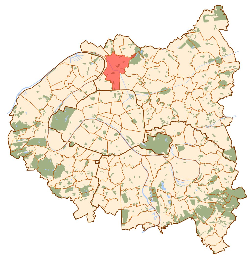
English: Map of Paris and its inner ring départements, localization of Saint-Denis
|
| ⧼wm-license-information-source⧽ | https://commons.wikimedia.org/wiki/File:Saint-Denis_map.svg |
| ⧼wm-license-information-author⧽ | Metropolitan |
Licensing
| |
The person who uploaded this file (see below) certifies that he/she has verified the legal terms of use of this image/photo (copyright status) before adding it to Wikimini.
Specifically, use of this image/photo is permitted because it is in the public domain, either due to expired copyright or explicit release to the public domain by the copyright holder.
|
File history
Click on a date/time to view the file as it appeared at that time.
| Date/Time | Thumbnail | Dimensions | User | Comment | |
|---|---|---|---|---|---|
| current | 16:06, 1 April 2023 | | 1,024 × 1,046 (466 KB) | Ours Pimenté (talk | contribs) | {{Information |Description = {{en| Map of Paris and its inner ring départements, localization of Saint-Denis }} |Source = https://commons.wikimedia.org/wiki/File:Saint-Denis_map.svg |Author = Metropolitan }} [[Category:History_and_geography|{{PA... |
- You cannot overwrite this file.
File usage
There are no pages on the Stock that use this file.
Check on:
- Encyclopedias
- Wikimini ES (Wikimini en español)
- Wikimini FR (Wikimini en français)
- Wikimini SV (Wikimini på svenska)
- Other